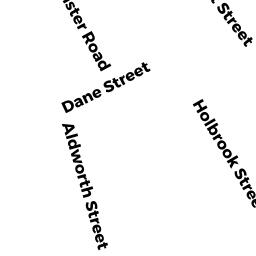
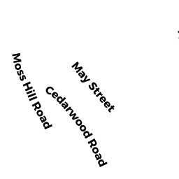
119 Dunster RD
Owner Information
BIGHAM MARJORIE SULLIVAN
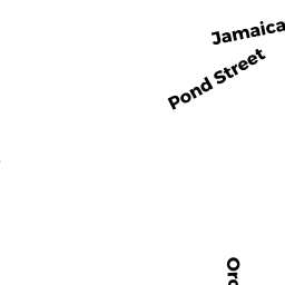
101 ORCHARD ST
JAMAICA PLAIN, MA 02130


Property Details
119 Dunster RD is classified as a Accessory Land with Improvement.
119 Dunster RD is valued at $60,300. The land is valued at $44,200 and the structures are valued at $200. There is an additional valuation of $15,900 on this property.
The most recent deed for 119 Dunster RD is recorded at the local registrar in Book 47437, Page 113. 119 Dunster RD was last sold on Wednesday, January 5, 2011 for $9.
Assessment data from fiscal year 2020.
Flood Data
According to the FEMA National Flood Hazard Layer, this property does not appear to be in a flood zone. It may also be in an area not yet reviewed. Nonetheless, confirm this information prior to taking any action.
To view the flood hazards around this property, create a FEMA "Firmette" Map of the area around 119 Dunster RD.
Broadband Internet Providers
| Provider | Type | Bandwidth (mbps) | |
|---|---|---|---|
| HughesNet | Satellite | 25 | 3 |
| Comcast | Cable | 1000 | 35 |
| T-Mobile | Fixed Wireless | 25 | 3 |
| Verizon New England Inc. | DSL | 5 | 0 |
| Verizon New England Inc. | Fiber | 940 | 880 |
| VSAT Systems, LLC. | Satellite | 2 | 1 |
| Viasat Inc | Satellite | 100 | 3 |
| GCI Communication Corp. | Satellite | 0 | 0 |
Broadband service provider data from December 2020.